🚚 Free Worldwide Shipping on All Orders!Shop Now
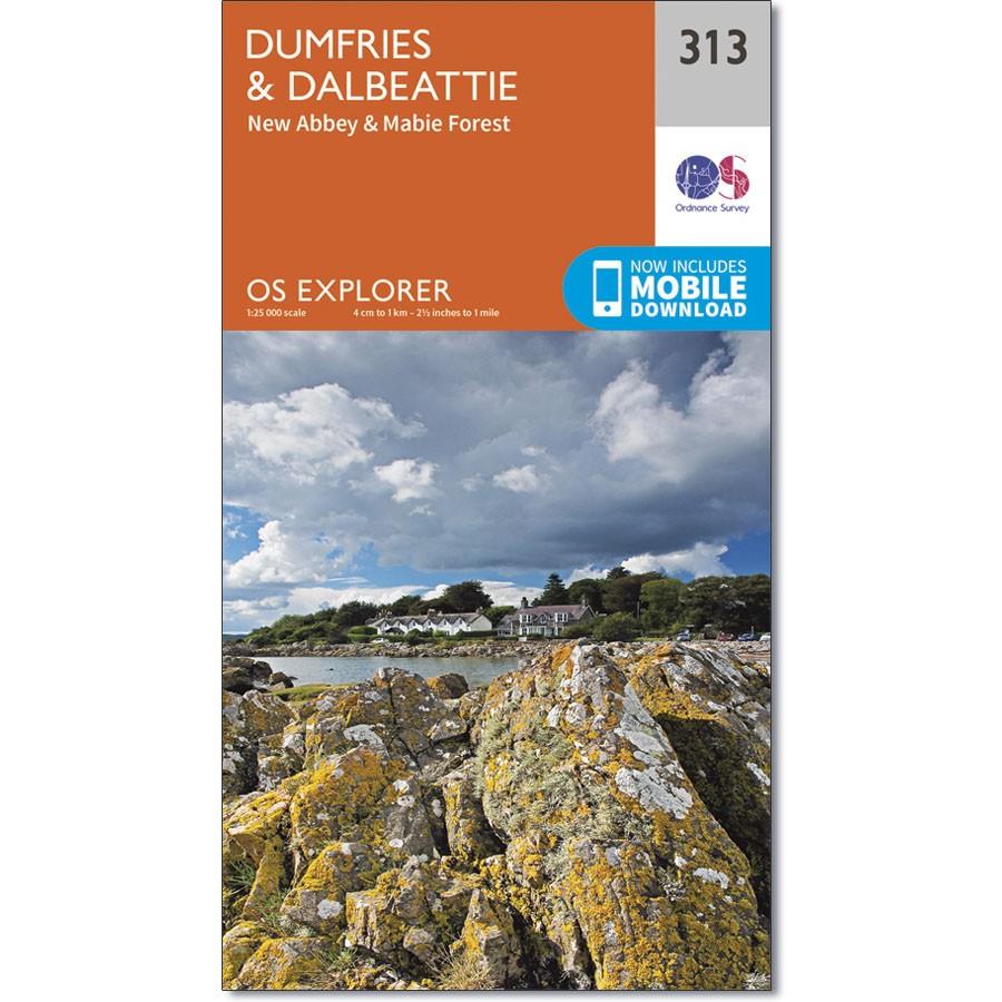
Ordnance Survey Explorer Map 313 Dumfries and Dalbeattie
Ordnance Survey Explorer Map 313 Dumfries and Dalbeattie
Map sheet number 313 covers Dumfries and Dalbeattie. Highlights include Nith Estuary and East Stewarty Coast. Also includes Mabie Forest, Milton Loch, Urr Water and Maidenpap.
The OS Explorer map for Dumfries & Dalbeattie is available in both the standard paper version and weatherproof 'Active' version.
$14.78
Ordnance Survey Explorer Map 313 Dumfries and Dalbeattie—
$14.78
Description
Ordnance Survey Explorer Map 313 Dumfries and Dalbeattie
Map sheet number 313 covers Dumfries and Dalbeattie. Highlights include Nith Estuary and East Stewarty Coast. Also includes Mabie Forest, Milton Loch, Urr Water and Maidenpap.
The OS Explorer map for Dumfries & Dalbeattie is available in both the standard paper version and weatherproof 'Active' version.