🚚 Free Worldwide Shipping on All Orders!Shop Now
Ordnance Survey Explorer Map 357 Kintyre North
Ordnance Survey Explorer Map 357 Kintyre North
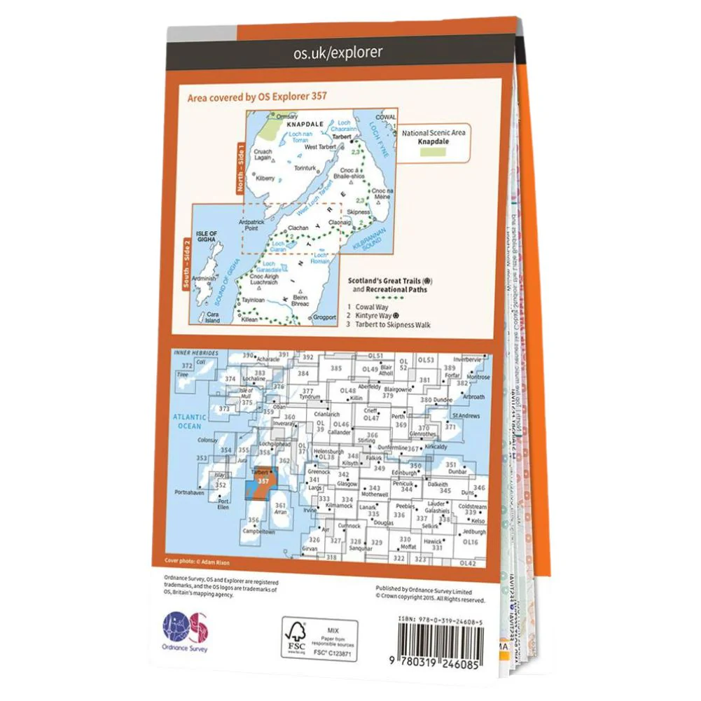
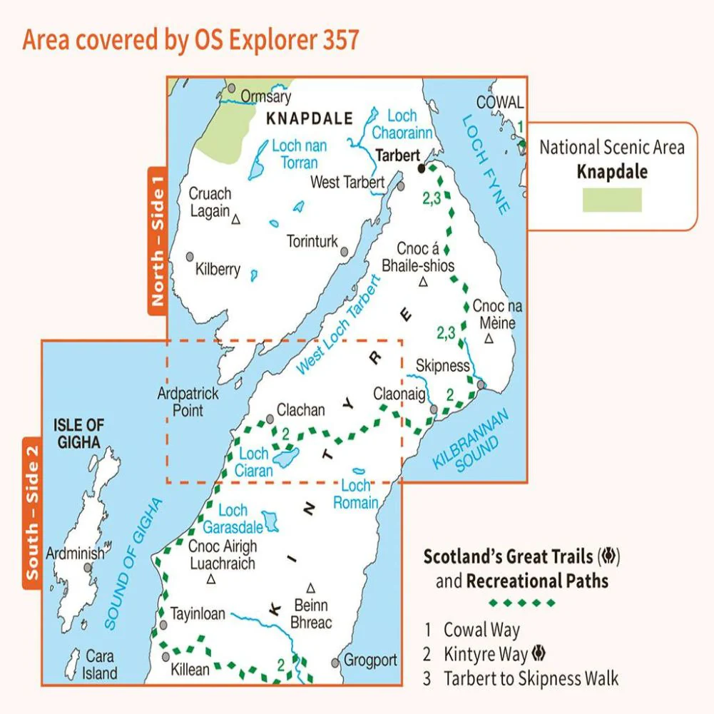
- OS Explorer map 357 that covers the northern part of Kintyre and southern Knapdale.
- Highlights of the area include Kintyre Way, Tarbert to Skipness Walk recreational path, Beinn Bhreac and West Loch Tarbert.
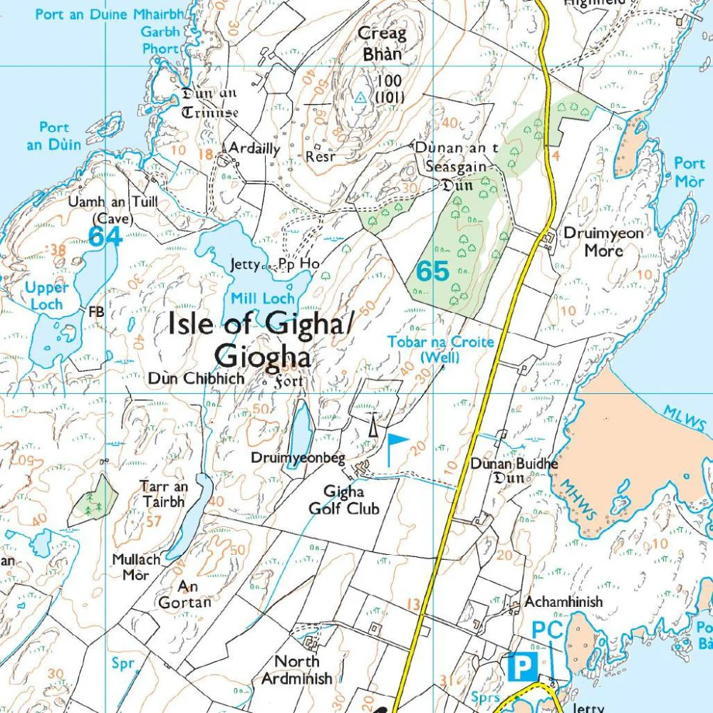
- This map also shows the Isle of Gigha, which has the Achamore Gardens and numerous seabirds.
- colonies.
- With this map, you will receive a code for use on your iOS or Android smartphone or tablet.
$14.78
Ordnance Survey Explorer Map 357 Kintyre North—
$14.78


Description
Ordnance Survey Explorer Map 357 Kintyre North
- OS Explorer map 357 that covers the northern part of Kintyre and southern Knapdale.
- Highlights of the area include Kintyre Way, Tarbert to Skipness Walk recreational path, Beinn Bhreac and West Loch Tarbert.
- This map also shows the Isle of Gigha, which has the Achamore Gardens and numerous seabirds.
- colonies.
- With this map, you will receive a code for use on your iOS or Android smartphone or tablet.