Ordnance Survey Landranger 77 - Dalmellington & New Galloway
Ordnance Survey Landranger 77 - Dalmellington & New Galloway
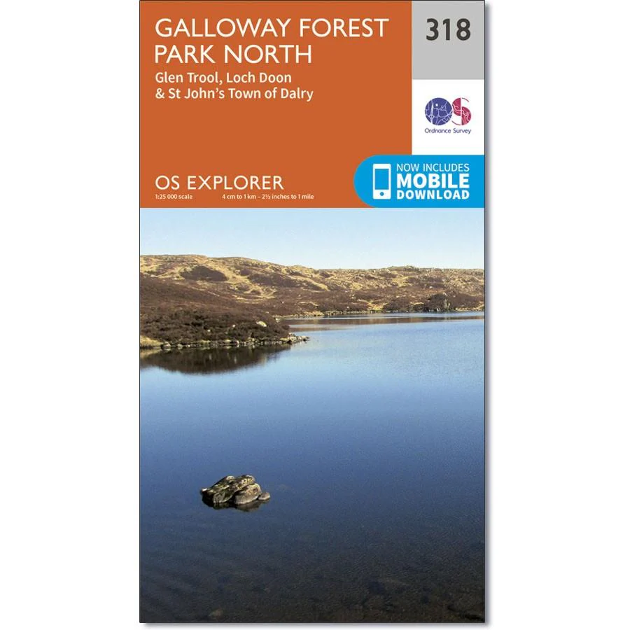
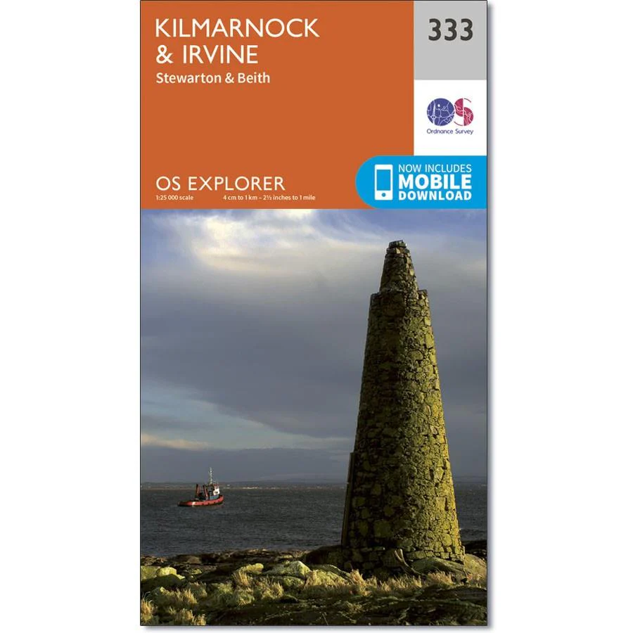
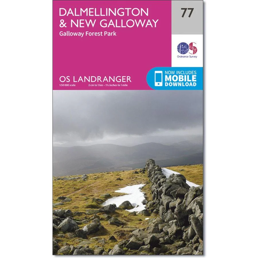
This map of Dalmellington and New Galloway, OS Landranger Map 77, also includes Waterside, Straiton, Carrick, Carsphairn, Kendoon, Colt Hill, Carroch Hill, Loch Dungeon, Lock Dee, Loch Trool, Loch Bradan, Loch Doon, and the Glenkens.
The Southern Upland Way (part of the E2 Long Distance Path) crosses this area, while the Galloway Forest Park has some amazing mountain biking trails.
Includes mobile download with this map you will receive a code for use on your iOS or Android smartphone or tablet.
Description
Ordnance Survey Landranger 77 - Dalmellington & New Galloway
This map of Dalmellington and New Galloway, OS Landranger Map 77, also includes Waterside, Straiton, Carrick, Carsphairn, Kendoon, Colt Hill, Carroch Hill, Loch Dungeon, Lock Dee, Loch Trool, Loch Bradan, Loch Doon, and the Glenkens.
The Southern Upland Way (part of the E2 Long Distance Path) crosses this area, while the Galloway Forest Park has some amazing mountain biking trails.
Includes mobile download with this map you will receive a code for use on your iOS or Android smartphone or tablet.