Ordnance Survey Landranger 79 - Hawick & Eskdale
Ordnance Survey Landranger 79 - Hawick & Eskdale
OS Landranger map 79 covers Eskdale, Liddesdale and Teviot Dale, plus the towns of Langholm and Hawick.
The Eskdale valley is a popular area for walking with a pleasant valley, and steep climbs. Head for Hart Fell (808m) for an interesting and occasionally challenging ridge walk.
Includes mobile downloadWith this map you will receive a code for use on your iOS or Android smartphone or tablet.
Description
Ordnance Survey Landranger 79 - Hawick & Eskdale
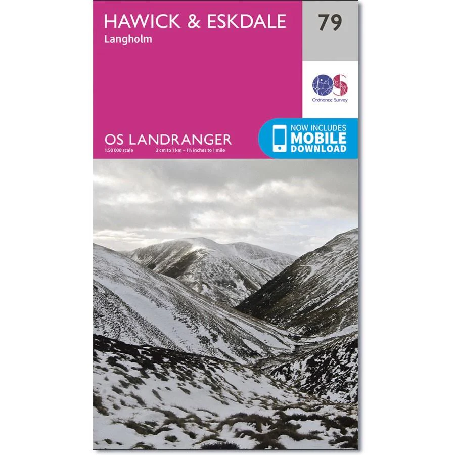
OS Landranger map 79 covers Eskdale, Liddesdale and Teviot Dale, plus the towns of Langholm and Hawick.
The Eskdale valley is a popular area for walking with a pleasant valley, and steep climbs. Head for Hart Fell (808m) for an interesting and occasionally challenging ridge walk.
Includes mobile downloadWith this map you will receive a code for use on your iOS or Android smartphone or tablet.