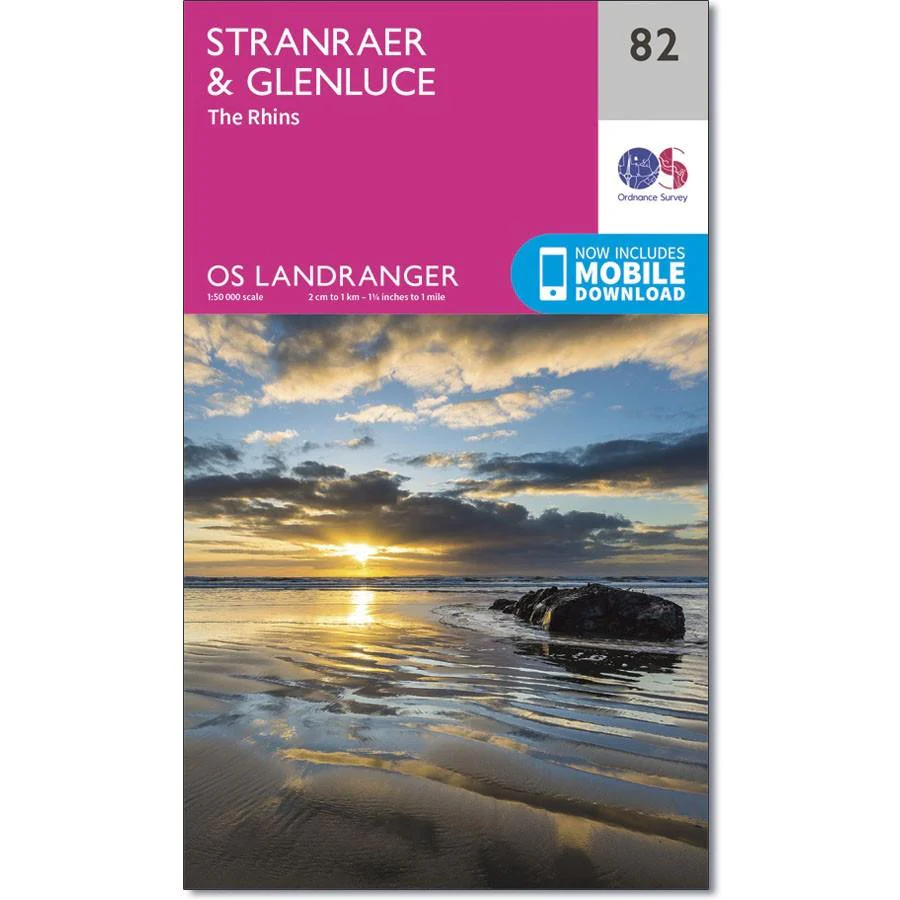
Ordnance Survey Landranger 82 - Stranraer & Glenluce
Ordnance Survey Landranger 82 - Stranraer & Glenluce
The OS Landranger map 82 of Stranraer & Glenluce also includes New Luce, Kirkcowan, Dunragit, Stoneykirk, Ardwell, Port Lagan, Drummore, Port Patrick, part of the E2 European Long Distance Path and part of the Southern Upland Way.
Stranraer is the ferry port to Belfast in Northern Ireland, but you can also visit the Castle of St John or Castle Kennedy.
Includes mobile download with this map you will receive a code for use on your iOS or Android smartphone or tablet.
Description
Ordnance Survey Landranger 82 - Stranraer & Glenluce
The OS Landranger map 82 of Stranraer & Glenluce also includes New Luce, Kirkcowan, Dunragit, Stoneykirk, Ardwell, Port Lagan, Drummore, Port Patrick, part of the E2 European Long Distance Path and part of the Southern Upland Way.
Stranraer is the ferry port to Belfast in Northern Ireland, but you can also visit the Castle of St John or Castle Kennedy.
Includes mobile download with this map you will receive a code for use on your iOS or Android smartphone or tablet.