🚚 Free Worldwide Shipping on All Orders!Shop Now
Ordnance Survey Landranger Map 31 Barra & South Uist
Ordnance Survey Landranger Map 31 Barra & South Uist
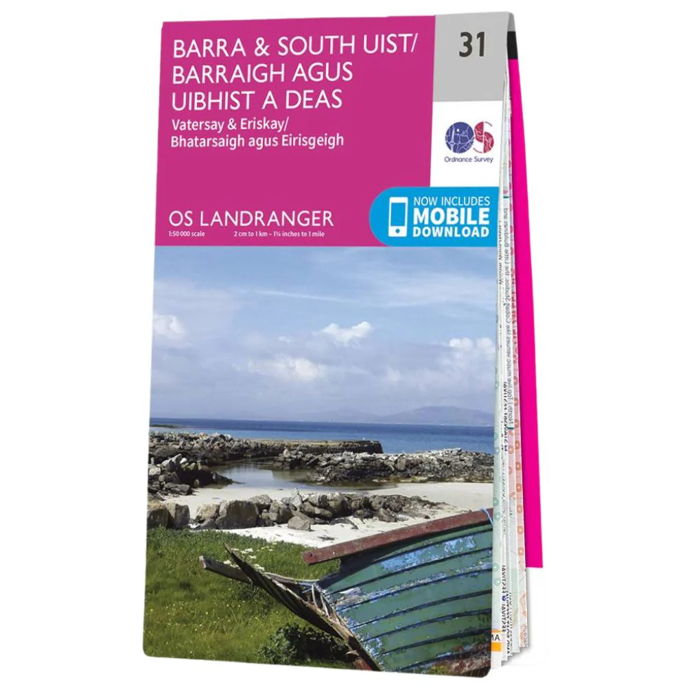
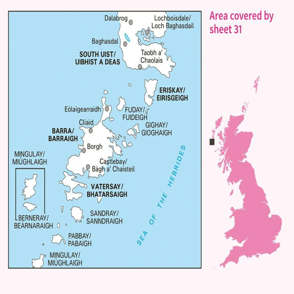
- Showing the southernmost of the Outer Hebrides, OS Landranger map 31 includes Barra, South Uist, Vatersay, Eriskay, Pabby and Mingulay.
- There are several small settlements, and travel is by ferry or the slightly scary beach-based runway.
- With this map, you will receive a code for use on your iOS or Android smartphone or tablet
$5.17
Original: $14.78
-65%Ordnance Survey Landranger Map 31 Barra & South Uist—
$14.78
$5.17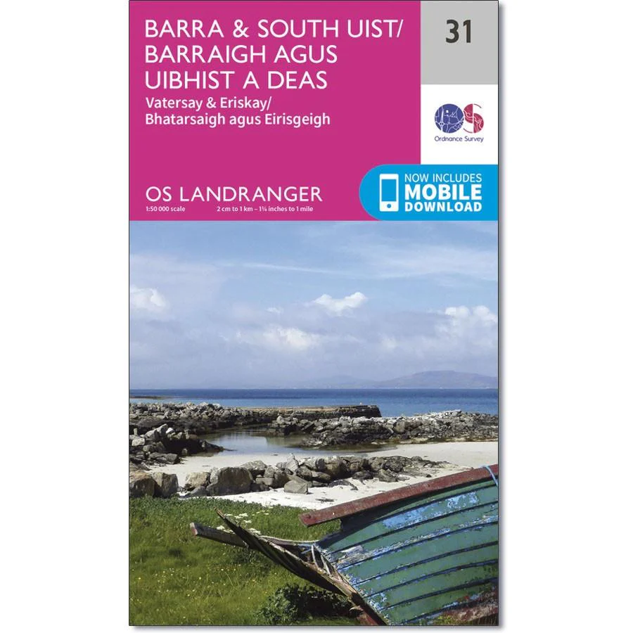


Description
Ordnance Survey Landranger Map 31 Barra & South Uist
- Showing the southernmost of the Outer Hebrides, OS Landranger map 31 includes Barra, South Uist, Vatersay, Eriskay, Pabby and Mingulay.
- There are several small settlements, and travel is by ferry or the slightly scary beach-based runway.
- With this map, you will receive a code for use on your iOS or Android smartphone or tablet