Ordnance Survey Landranger Map 7 Orkney - Southern Isles
Ordnance Survey Landranger Map 7 Orkney - Southern Isles
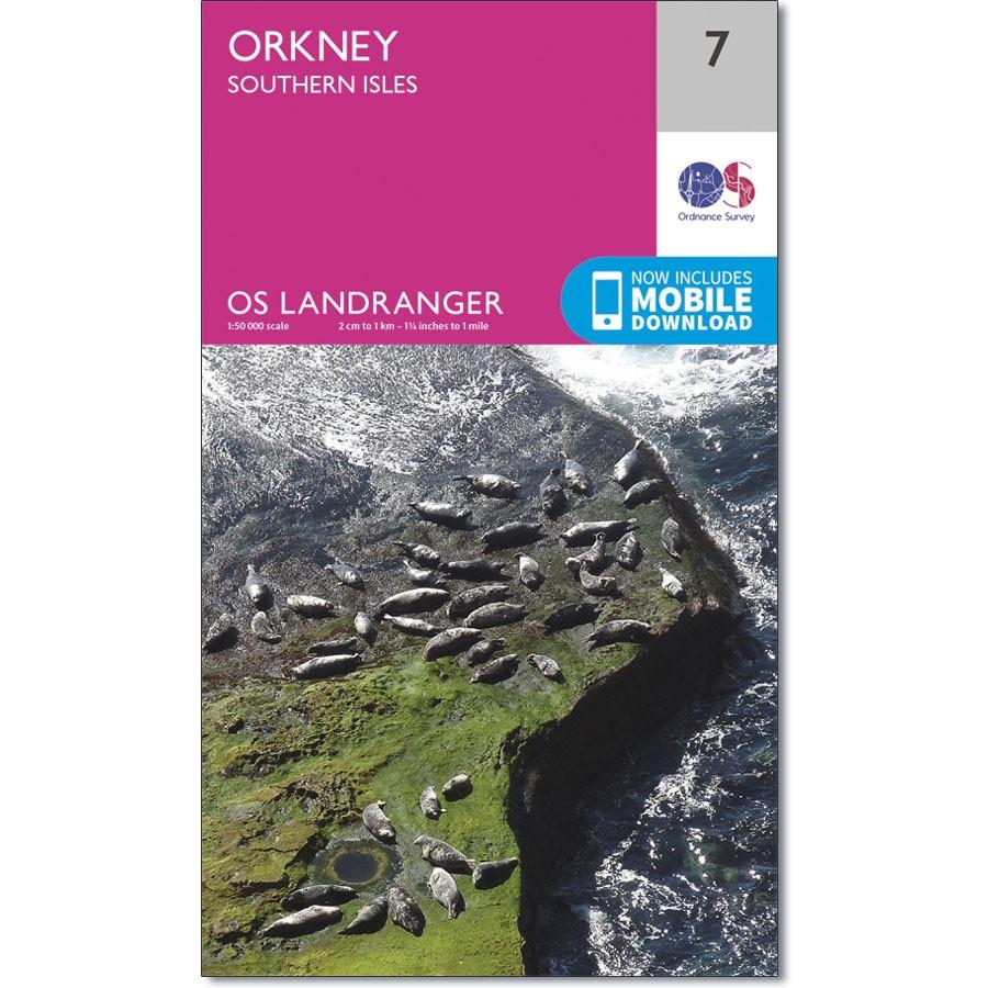
OS Landranger map 7 shows the southern part of Orkney, including Hoy, South Ronaldsay, the Island of Stroma, Flotta, and South Walls, as well as Scapa Flow and the Pentland Firth.
Scapa flow has been used as a harbour for as long as people have been using the sea. The wrecks of the German fleet, along with other older vessels make this one of the most popular spots in the world for wreck diving.
With this map you will receive a code for use on your iOS or Android smartphone or tablet.
Description
Ordnance Survey Landranger Map 7 Orkney - Southern Isles
OS Landranger map 7 shows the southern part of Orkney, including Hoy, South Ronaldsay, the Island of Stroma, Flotta, and South Walls, as well as Scapa Flow and the Pentland Firth.
Scapa flow has been used as a harbour for as long as people have been using the sea. The wrecks of the German fleet, along with other older vessels make this one of the most popular spots in the world for wreck diving.
With this map you will receive a code for use on your iOS or Android smartphone or tablet.