🚚 Free Worldwide Shipping on All Orders!Shop Now
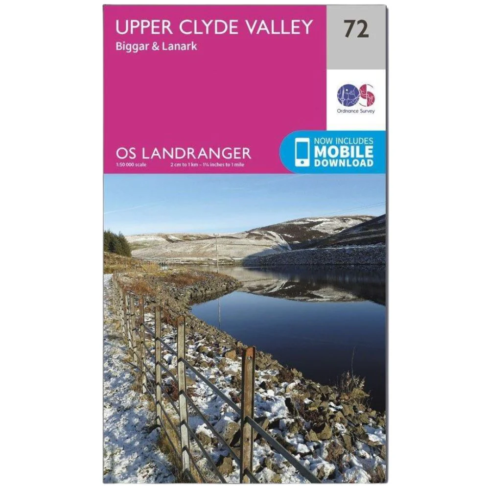
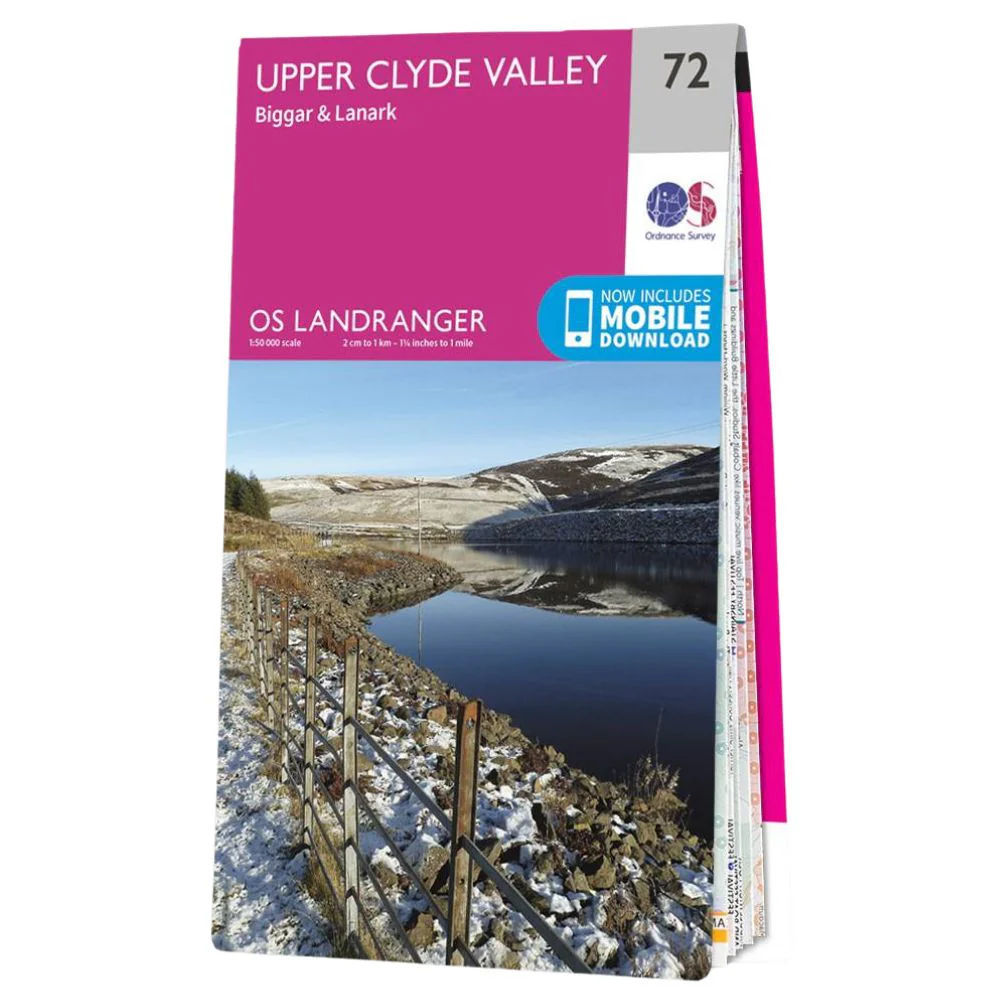
Ordnance Survey Landranger Map 72 Upper Clyde Valley
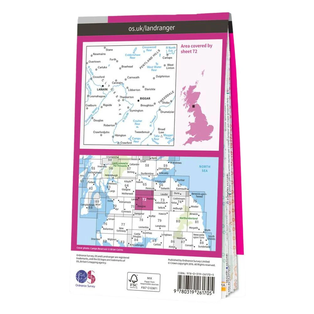
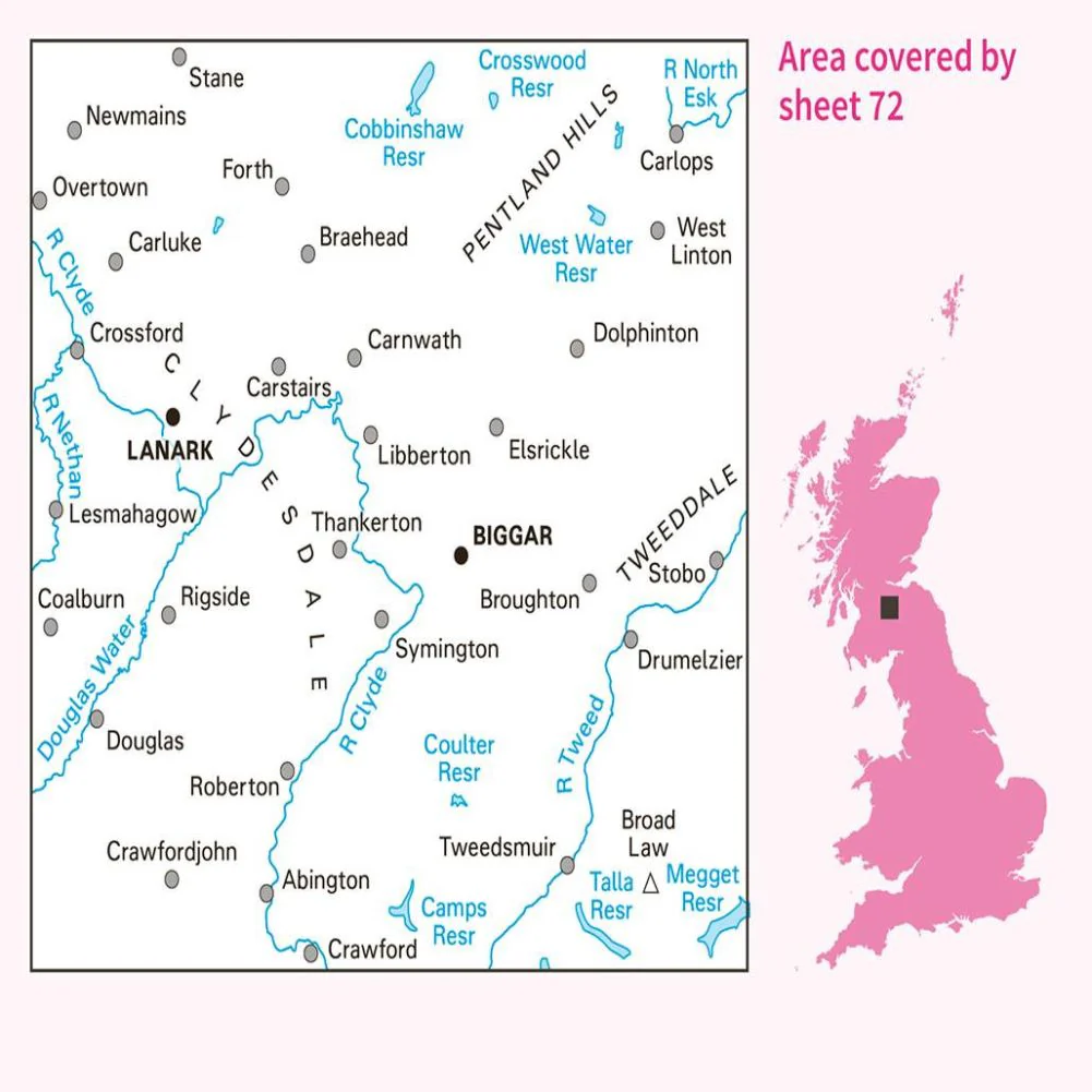
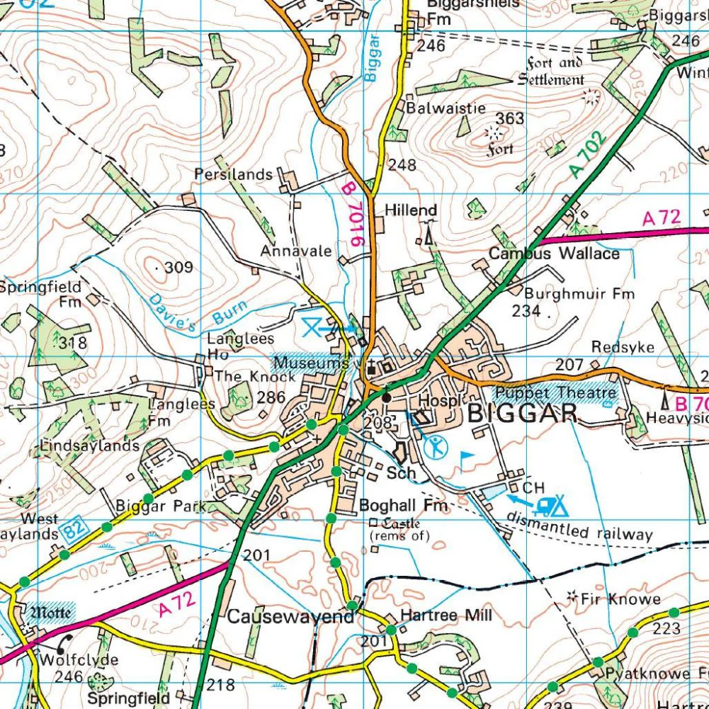
Ordnance Survey Landranger map 72 Upper Clyde Valley shows the area of the Scottish Borders covering Lanark, Biggar, Douglas and Braehead.
- The reservoirs here are popular for walking and fishing, while the Upper Clyde Valley, Tweeddale Valley and Pentland Hills also provide some great opportunities for outdoor adventures.
- With this map, you will receive a code for use on your iOS or Android smartphone or tablet.
$14.78
Ordnance Survey Landranger Map 72 Upper Clyde Valley—
$14.78
Description
Ordnance Survey Landranger map 72 Upper Clyde Valley shows the area of the Scottish Borders covering Lanark, Biggar, Douglas and Braehead.
- The reservoirs here are popular for walking and fishing, while the Upper Clyde Valley, Tweeddale Valley and Pentland Hills also provide some great opportunities for outdoor adventures.
- With this map, you will receive a code for use on your iOS or Android smartphone or tablet.