Ordnance Survey Explorer Map 361 Isle of Arran
Ordnance Survey Explorer Map 361 Isle of Arran
Arran is the largest island in the Firth of Clyde. It's mountainous, with the highest peak Goat Fell, standing at 874m.
Arran is supposed to represent all the various types of landscape is Scotland, from rugged coastlines to plains and jagged peaks, making it a popular destination.
With this map you will receive a code for use on your iOS or Android smartphone or tablet.
Original: $14.78
-65%$14.78
$5.17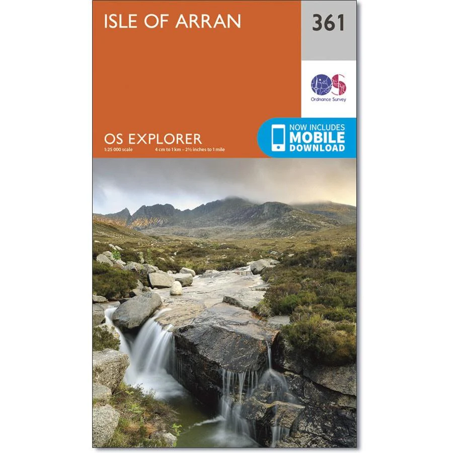
Description
Ordnance Survey Explorer Map 361 Isle of Arran
Arran is the largest island in the Firth of Clyde. It's mountainous, with the highest peak Goat Fell, standing at 874m.
Arran is supposed to represent all the various types of landscape is Scotland, from rugged coastlines to plains and jagged peaks, making it a popular destination.
With this map you will receive a code for use on your iOS or Android smartphone or tablet.