Ordnance Survey Explorer Map 449 Strath Halladale & Strathy Point
Ordnance Survey Explorer Map 449 Strath Halladale & Strathy Point
On the north coast of Scotland, OS Explorer map 449 follows Strath Halladale and the Halladale River and includes Strathy Point, Melvich and Forsinard.
There are numerous small lochs, as well as the peaks of Beinn Ratha (242 m) and Channain Hil (302 m)
With this map you will receive a code for use on your iOS or Android smartphone or tablet.
Original: $14.78
-65%$14.78
$5.17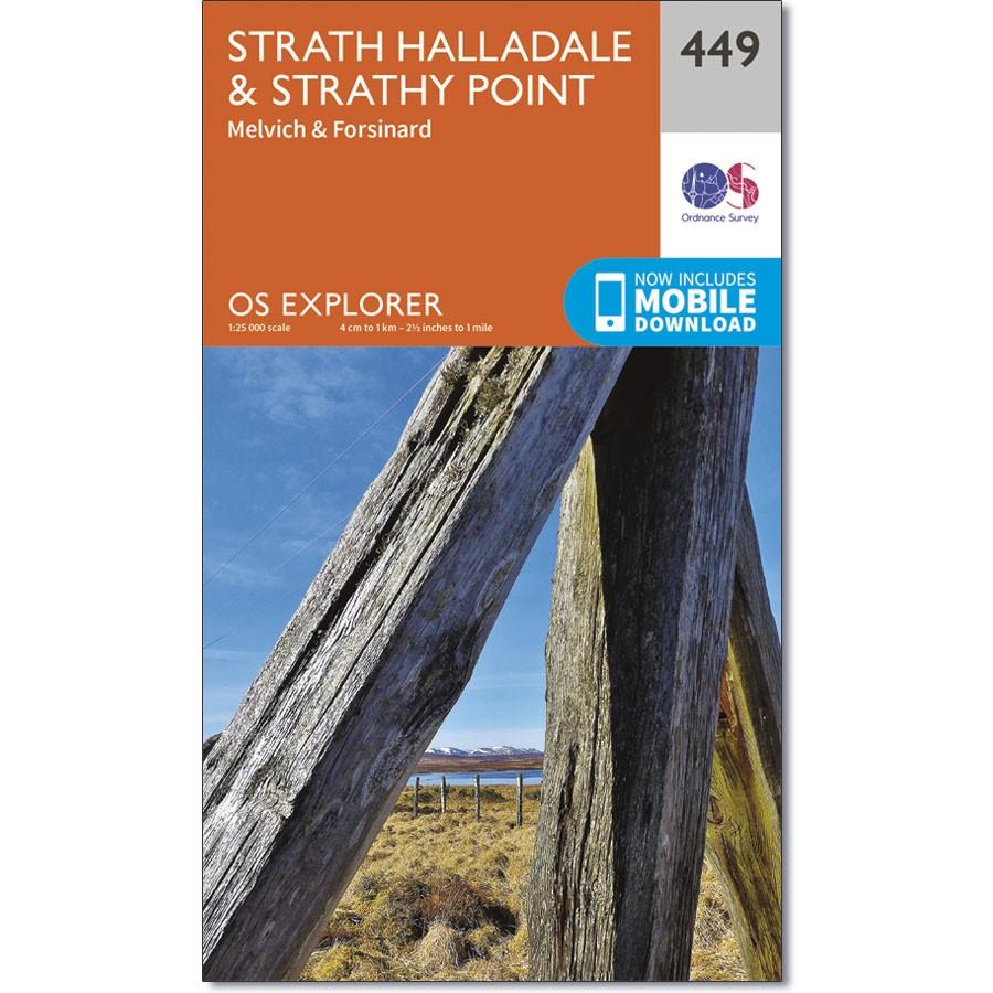
Description
Ordnance Survey Explorer Map 449 Strath Halladale & Strathy Point
On the north coast of Scotland, OS Explorer map 449 follows Strath Halladale and the Halladale River and includes Strathy Point, Melvich and Forsinard.
There are numerous small lochs, as well as the peaks of Beinn Ratha (242 m) and Channain Hil (302 m)
With this map you will receive a code for use on your iOS or Android smartphone or tablet.