Ordnance Survey Landranger Map 68 South Kintyre & Campbeltown
Ordnance Survey Landranger Map 68 South Kintyre & Campbeltown
OS Landranger map 68 shows the southern Kintyre, including Campbeltown, Southend, Carradale, Sanda Island and the Kilbrannan Sound.
The Kintyre Way circles the peninsula for pedestrians, while on a bike the B842 and Kilkerran Road allow you to see much of the area with minimal traffic.
With this map you will receive a code for use on your iOS or Android smartphone or tablet.
Original: $14.78
-65%$14.78
$5.17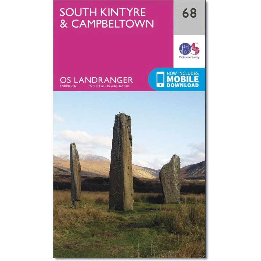
Description
Ordnance Survey Landranger Map 68 South Kintyre & Campbeltown
OS Landranger map 68 shows the southern Kintyre, including Campbeltown, Southend, Carradale, Sanda Island and the Kilbrannan Sound.
The Kintyre Way circles the peninsula for pedestrians, while on a bike the B842 and Kilkerran Road allow you to see much of the area with minimal traffic.
With this map you will receive a code for use on your iOS or Android smartphone or tablet.