Ordnance Survey Map OL 37 Cowal East
Ordnance Survey Map OL 37 Cowal East
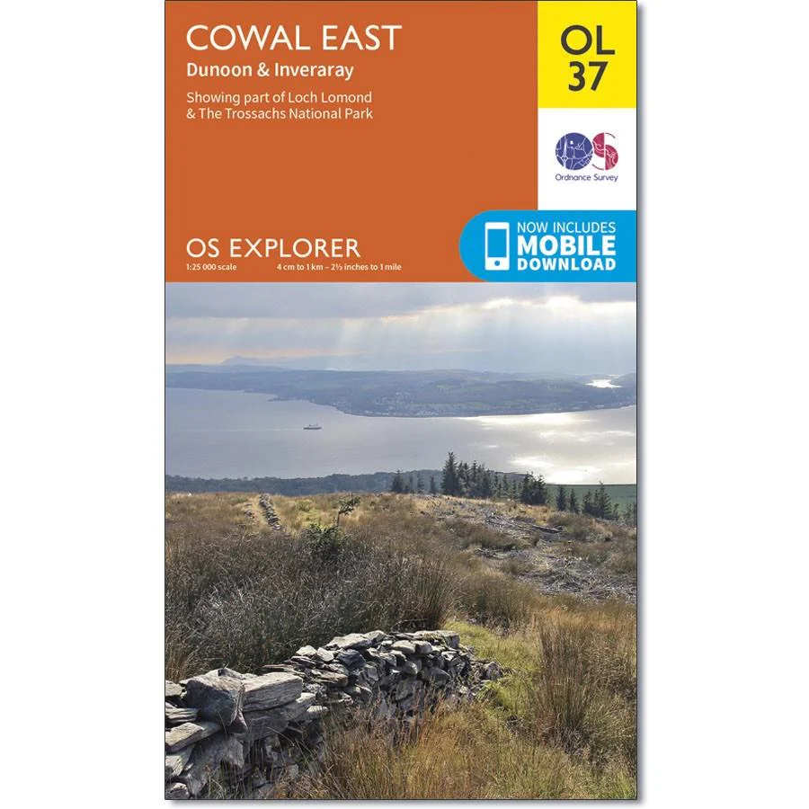
Map sheet number OL 37 covers Cowal East, Dunoon and Inveraray. Highlights include Loch Lomond and The Trossachs National Park, Argyll Forest Park and Kyles of Bute. Also includes Loch Fyne, Holy Loch and West Island Way. This map replaces the previous OS Explorer map 363 for this area.
With this map you will receive a code for use on your iOS or Android smartphone or tablet.
Description
Ordnance Survey Map OL 37 Cowal East
Map sheet number OL 37 covers Cowal East, Dunoon and Inveraray. Highlights include Loch Lomond and The Trossachs National Park, Argyll Forest Park and Kyles of Bute. Also includes Loch Fyne, Holy Loch and West Island Way. This map replaces the previous OS Explorer map 363 for this area.
With this map you will receive a code for use on your iOS or Android smartphone or tablet.